 Occasional Papers (2009-)
 Site Visualisations
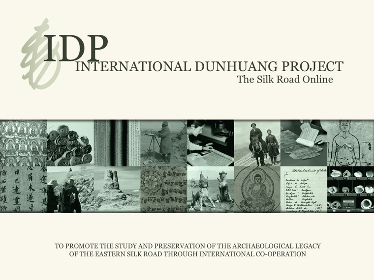
Little was known of the remarkable heritage of the Silk Road until explorers and archaeologists of the early twentieth century uncovered the ruins of ancient cities in the desert sands, revealing astonishing sculptures, murals and manuscripts. One of the most notable discoveries was the Buddhist cave library near the oasis town of Dunhuang on the edge of the Gobi desert in western China. The cave had been sealed and hidden at the end of the first millennium AD and only re-discovered in 1900. Forty thousand manuscripts, paintings and printed documents on paper and silk were found in the cave itself. Tens of thousands more items were excavated from other Silk Road archaeological sites. These unique items have fascinating stories to tell of life on this great trade route from 100 BC to AD 1400. Yet most were dispersed to institutions worldwide in the early 1900s.
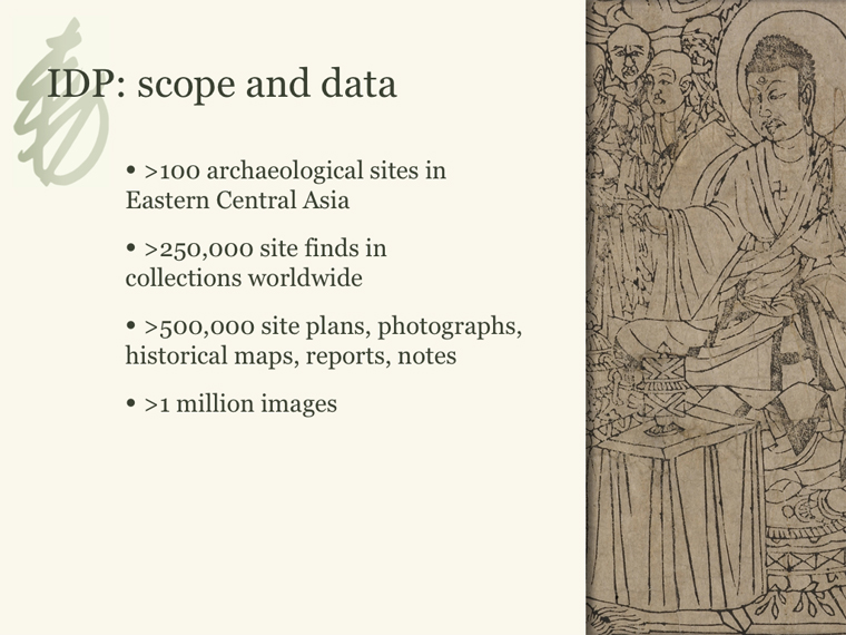
The size and scope of the collections, as well as their fragility and limited access, has meant that, while they constitute a primary research resource for the history and literature of the region, many of the manuscripts in particular have yet to be studied in detail. TheInternational Dunhuang Project aims to reunite this material by making it freely available online.
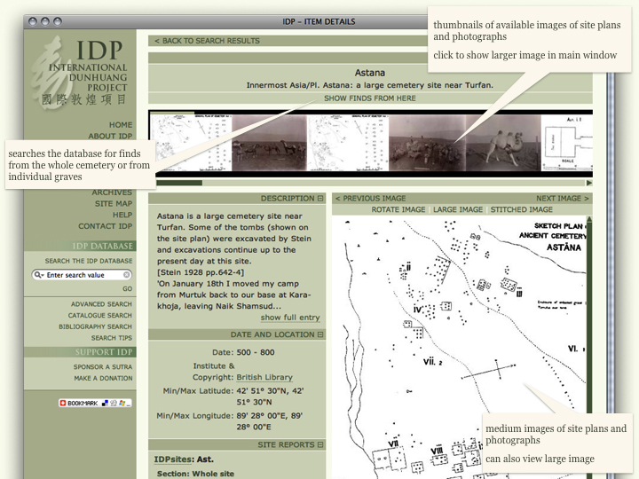
Overview page for IDP sites.
One part of this project includes the mapping of archaeological sites, and the digitisation of archaeological data collected by Aurel Stein and other researchers, using tools such as Google Earth to help users to better understand the history of the Tarim Basin and its cultures.
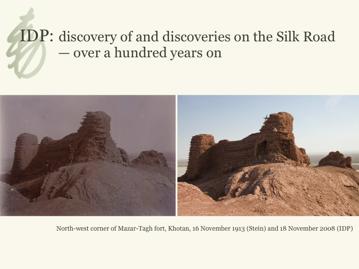
Taken on the IDP Field trip to Xinjiang, November 2008.
IDP: mapping
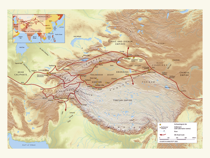
Silk Road Map.
Mapping explorer's journeys.
Mapping explorer's journeys.
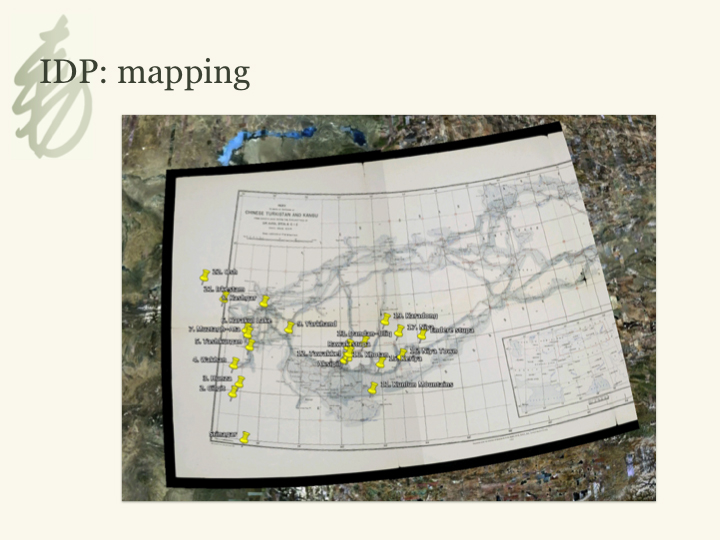
Mapping archaeological sites.
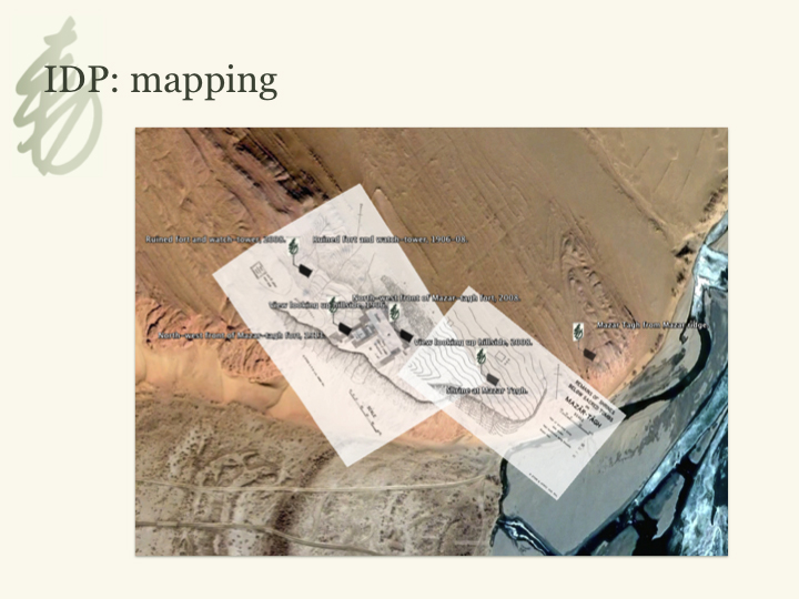
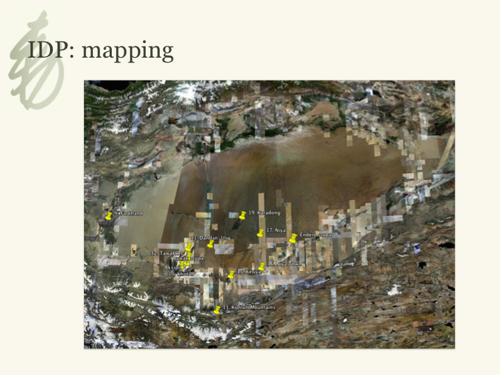
Mapping archaeological sites.
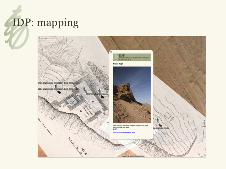
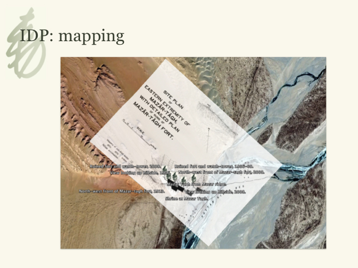
Mapping archaeological sites.
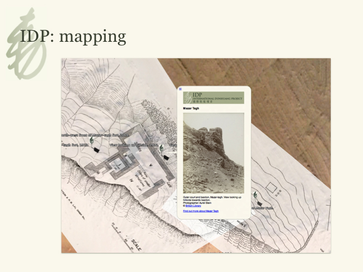
Mapping archaeological sites.
IDP was established at the British Library following an inaugral conference held in 1993. The project currently has centres in China, Russia, Japan and Germany. Much of IDP's early work focused on conservation and cataloguing, both of which remain core activities. These have been supplemented in the past few years with digitisation, education and research. IDP started digitising the manuscripts in 1997 with the aim of bringing together the collections in virtual space. The web site went online in October 1998 and allows free access to the IDP DATABASE with high-quality images of the manuscripts and other material, with cataloguing and contextual information. In this way, Silk Road material is becoming increasingly available to academic and general users alike.
The emphasis for the future is to continue IDP's core activities of conserving, cataloguing, digitising and researching the manuscripts and artefacts and to utilise these resources to build up greater awareness of Central Asian history and culture worldwide. By 2015, we aim to have catalogued, digitised, and made 90% of the collections freely available online for anyone to use. We hope to have established further collaborations with other centres worldwide. We also aim to develop a greatly enhanced education and outreach programme to bring this unique resource to schoolchildren and scholars worldwide.
The International Dunhuang Project website: http://idp.bl.uk/