 Occasional Papers (2009-)
 Site Visualisations
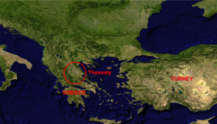
NASA Blue Marble true-colour global imagery [1km resolution]
Thessaly is one of the largest plains in Mediterranean Europe, and its fertile and well-watered soils made it a focus of prehistoric settlement.
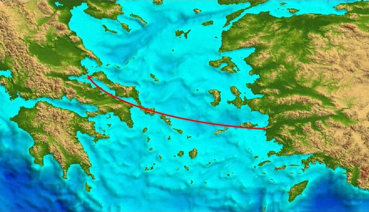
GLOBE DEM
It was settled by farming populations, probably coming from Anatolia across the chains of Aegean islands, in the seventh millennium BC.
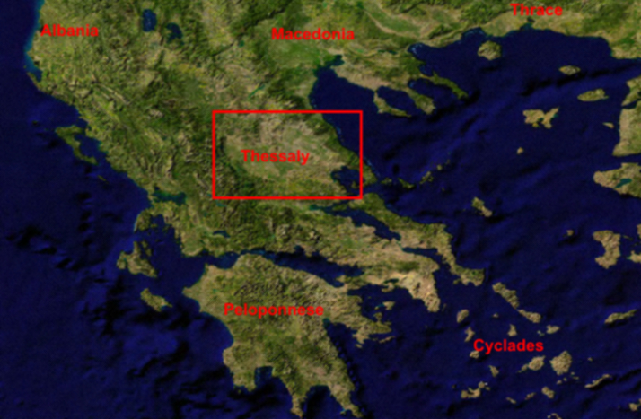
NASA Blue Marble true-colour global imagery [1km resolution]
The Plains of Thessaly are inland, separated from the coast by a mountain range (including Mt Olympos), cut through by the Peneios river which drains the basin.
The Plains of Thessaly are inland, separated from the coast by a mountain range (including Mt Olympos), cut through by the Peneios river which drains the basin.
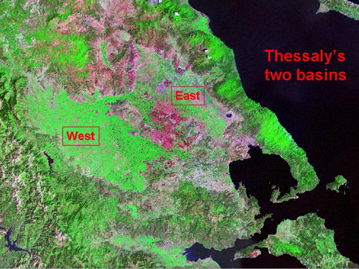
The Plain of Thessaly consists of two distinct basins, east and west, of somewhat differing character.
Neolithic settlements (see Theokharis, ed. The Neolithic in Greece) proliferated in both the eastern and the western basin, with a further concentration in the Gulf of Volos.
The south-western side of the eastern basin was occupied by a shallow seasonal lake, Lake Karla. Surrounding uplands offered contrasts in relief, and complementary resources.
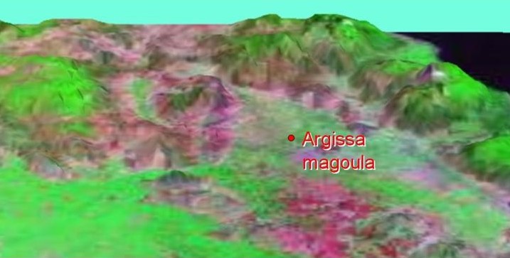
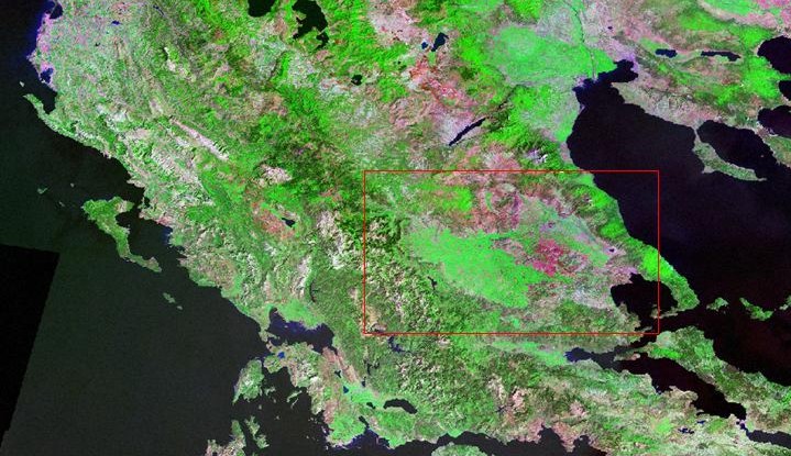
Argissa Magoula is a long occupied settlement-mound, near to the present-day town of Larisa, which has provided a classic sequence of Neolithic cultures. This view (dominated by Mt Olympos) was generated by draping the 30-m resolution Landsat 5 image over a terrain model derived from the Digital Chart of the World.
Landsat TM imagery provided by NASA.
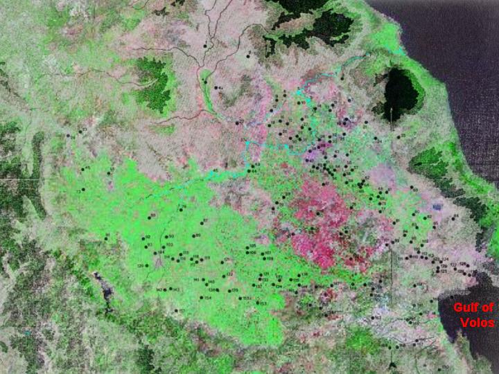
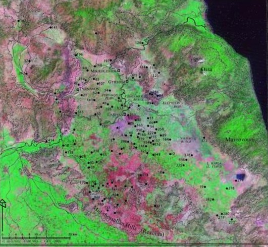
This map of Early Neolithic settlements, compiled by PerlËs and Johnson from data published by Gallis, demonstrates the extraordinary density of occupation in this region between 6500 and 5500 BC. Comparable densities were maintained for another millennium, before a dispersal of settlement led to the abandonment of many sites and the foundation of others in new areas.
Landsat TM imagery provided by NASA.
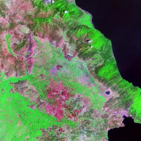
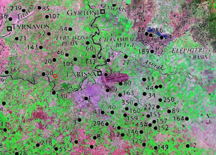
This map shows an enlarged section of the preceding one, in the centre of the eastern basin near the modern town of Larisa, highlighting a major cluster of sites south of the town. Site number 50 is Argissa Magoula.
Landsat TM imagery provided by NASA.
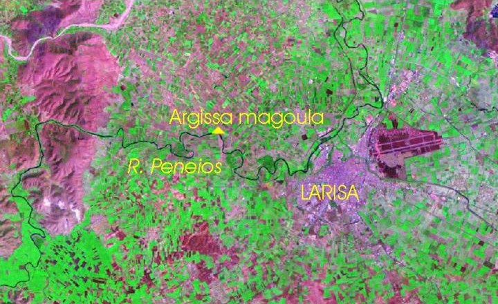
The location of Argissa Magoula on the River Peneios.
Referenced sites
| Site Name | Country | Latitude | Longitude | OpenAtlasID |
|---|---|---|---|---|
| Argissa | gr | 39.66 | 22.34 | gr/argissa |