 Occasional Papers (2009-)
 Site Visualisations
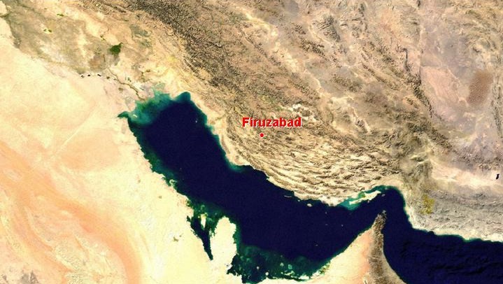
NASA Blue Marble true-colour global imagery [1km resolution]
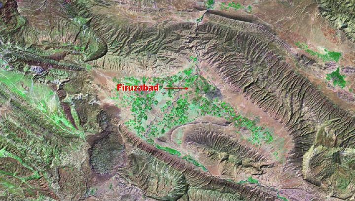
Firuzabad, in south-western Iran, became important in the 3rd century AD at the beginning of the Sasanian period.
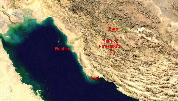
NASA Blue Marble true-colour global imagery [1km resolution]
It lies halfway between the heartland of the old Persian empire around Persepolis and the ports on the northern shore of the Persian Gulf. See Bushehr.
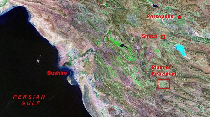
Landsat TM imagery provided by NASA.
The Plain of Firuzabad provided an agriculturally producive area in a strategic position, as trade in the Persian Gulf was growing.
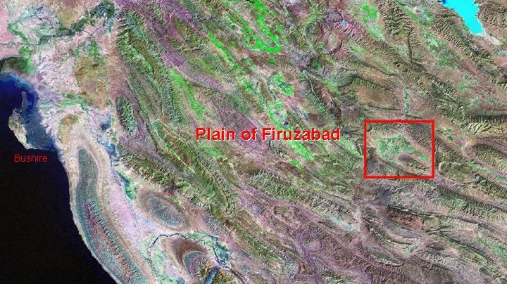
Landsat TM imagery provided by NASA.
The Plain of Firuzabad is a small but exceptionally fertile and well-watered.
Landsat TM imagery provided by NASA.
It occupies an intermontane basin between the ridges of the Zagros, within which a large alluvial fan has accumulated. There are important rock-reliefs where the river cuts through the mountains, celebrating victory over the preceding Parthian dynasty, centred in the north of the Empire and much influenced by the classical civilisations of the Mediterranean.
Landsat 7 imagery provided by NASA.
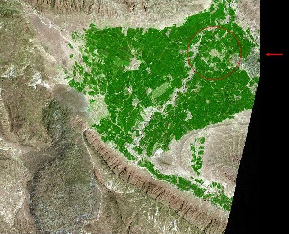
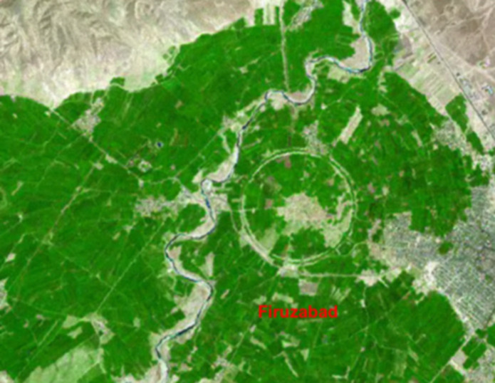
A site at the head of the Plain was chosen by Ardashir I (AD224-41), founder of the Sasanian dynasty for a new, circular city.
Landsat 7 imagery provided by NASA.
Two huge double ramparts of clay form a perfect circle around the city, nearly 2 km in diameter, visible in this Landsat 7 image with 15m resolution.
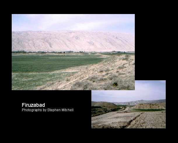
Photographs by Stephen Mitchell
The sharply contrasting plain and surrounding mountains, with the ramparts of the Sasanian town. See: Stephen Mitchell's website.
Referenced sites
| Site Name | Country | Latitude | Longitude | OpenAtlasID |
|---|---|---|---|---|
| Firuzabad | ir | 28.852465 | 52.53 | ir/firuzabad |