 Occasional Papers (2009-)
 Site Visualisations
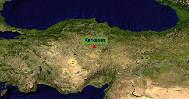
NASA Blue Marble true-colour global imagery [1km resolution]
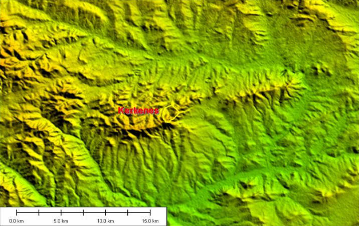
Kerkenes is a major Iron Age (Phrygian-period) fortified city on a hilltop in central Turkey.
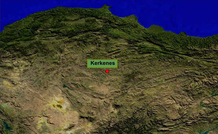
NASA Blue Marble true-colour global imagery [1km resolution]
It commands a strategic crossing-point of east-west and north-south routes. (Blue Marble draped on 1km DEM).
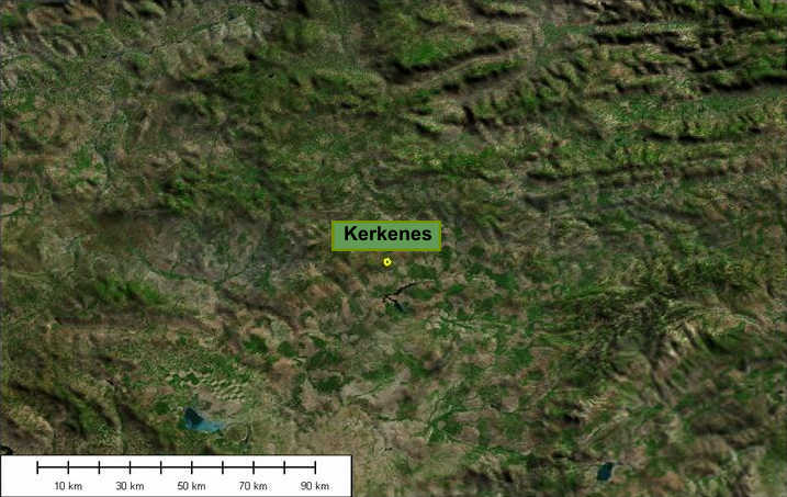
Landsat 7 draped on 1km DEM.
Landsat 7 imagery provided by NASA.
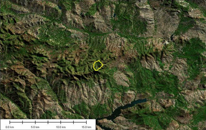
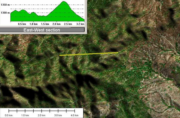
It sits on the border between the undulating and relatively dry terrain of central Anatolia, and the wetter and more rugged country to the north, with routes leading to the Black Sea. The yellow line indicates the actual outline of the site.
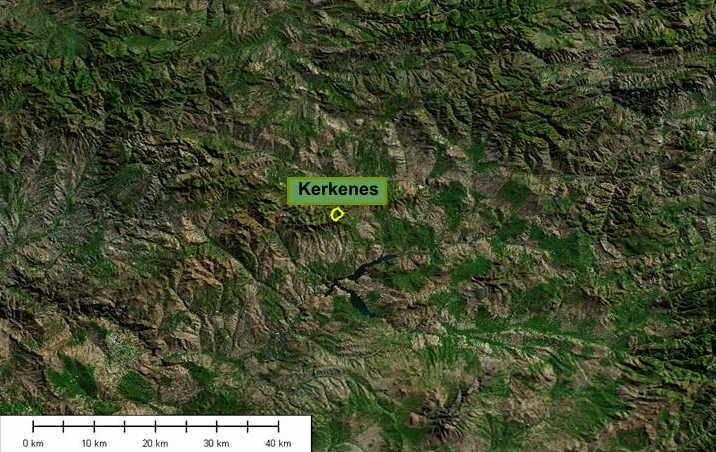
Landsat 7 draped on 90m DEM.
Landsat 7 imagery provided by NASA.
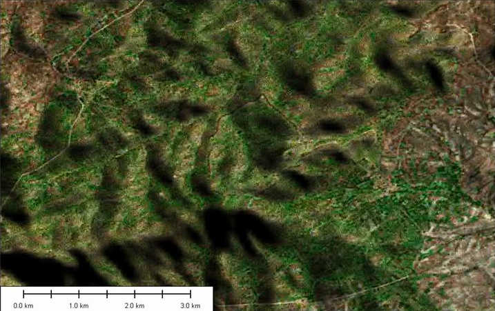
The site is set on an east-west ridge separating the Yozgat valley from the plains to the south.
Landsat 7 draped on 90m DEM.
Landsat 7 imagery provided by NASA.
The site immediately overlooks a pass through the ridge.
Landsat 7 imagery provided by NASA.
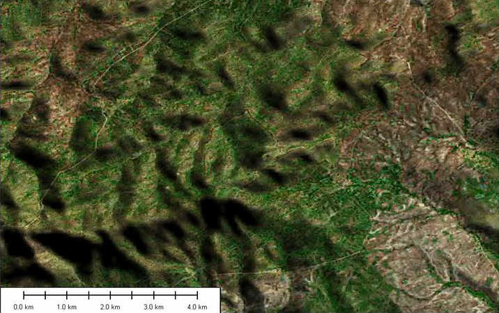
A massive wall encloses the area between several peaks and ridges, including one fortified flat peak, (Kale), with an area of occupied flat land in between.
Landsat 7 imagery provided by NASA.
The walls themselves are visible on Landsat 7 imagery (thin reddish line enclosing the green basin in the centre of the image). 'Seven kilometers of strong stone defences, pierced by seven gates, enclose 2.5 km2.' (Geoffrey Summers).
Landsat 7 imagery provided by NASA.
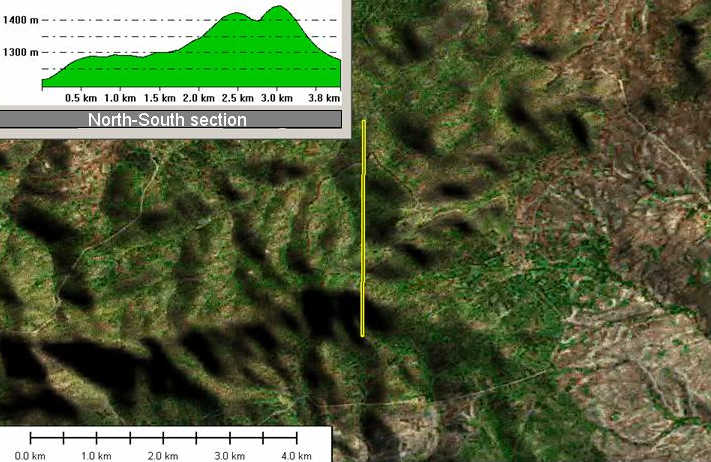
Section showing the rugged topography of the site (N-S).
Landsat 7 imagery provided by NASA.
Section showing the rugged topography of the site (E-W).
Landsat 7 imagery provided by NASA.
The city was occupied for a relatively short time before being completely abandoned, leaving a remarkable urban ìfossilî of the earlier first millennium BC.
Landsat 7 draped on 90m DEM, 3D
Landsat 7 imagery provided by NASA.
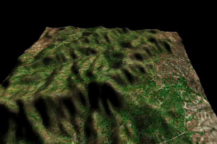
This 3D view, looking north, indicates its spectacular setting.
Referenced sites
| Site Name | Country | Latitude | Longitude | OpenAtlasID |
|---|---|---|---|---|
| Kerkenes | tr | 39.749092 | 35.066066 | tr/kerkenes |