 Occasional Papers (2009-)
 Site Visualisations
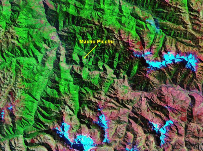
Landsat TM image, 30m resolution, circa 1990, with Band 7 displayed as red, Band 4 as green and Band 2 as blue.
Landsat TM imagery provided by NASA.
Machu Picchu is located at the top of a peak within an incised bend of the river Urubamba, dominating this twisting artery of contact with the lowland world.
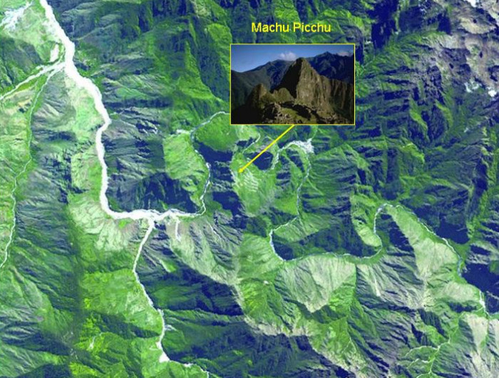
NASA/GSFC/METI/ERSDAC/JAROS, and U.S./Japan ASTER Science Team; Photographs
The location of Machu Picchu (view, inset) and its relation to the river Urubamba is clearly visible in this ASTER image. Click here for an external link to a 1m resolution QuickBird image of Machu Picchu.
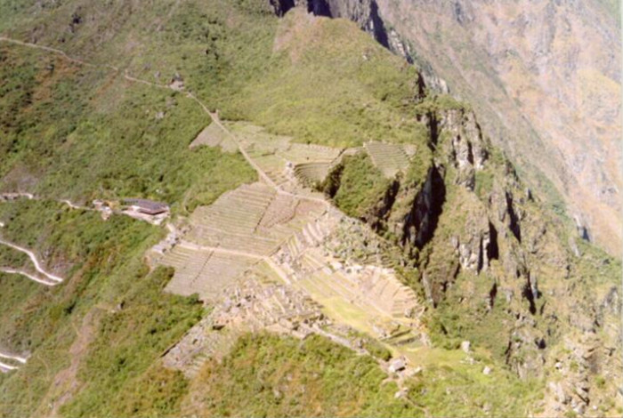
Francesco Menotti 1995
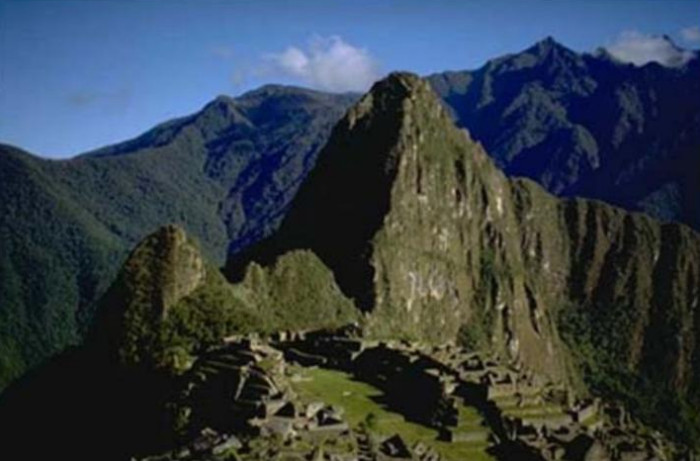
Machu Picchu photographed from the top of the Huayna Picchu.
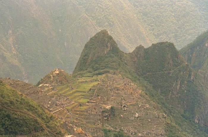
Francesco Menotti 1995
Machu Picchu photographed from the Inka trail before entering the Citadel.
Francesco Menotti 1995
Machu Picchu photographed from the restored thatched house.
Referenced sites
| Site Name | Country | Latitude | Longitude | OpenAtlasID |
|---|---|---|---|---|
| Machu Picchu | pe | -13.163344 | -72.546192 | pe/machu_picchu |